Subscribe now for full access and no adverts
The temple of Serabit el-Khadim is located on a plateau on top of a mountain in south-west Sinai. From earliest dynastic times, pharaohs sent expeditions to Sinai in search of turquoise and copper, and abundant seams of turquoise were found in the Serabit region. Hathor had the epithet ‘Lady of Turquoise’, so it is no surprise to find a temple dedicated to Hathor near the mine workings. Members of the ancient expeditions hoped that, by making offerings to Hathor, they would extract good quantities of turquoise and return safely to the Nile valley.
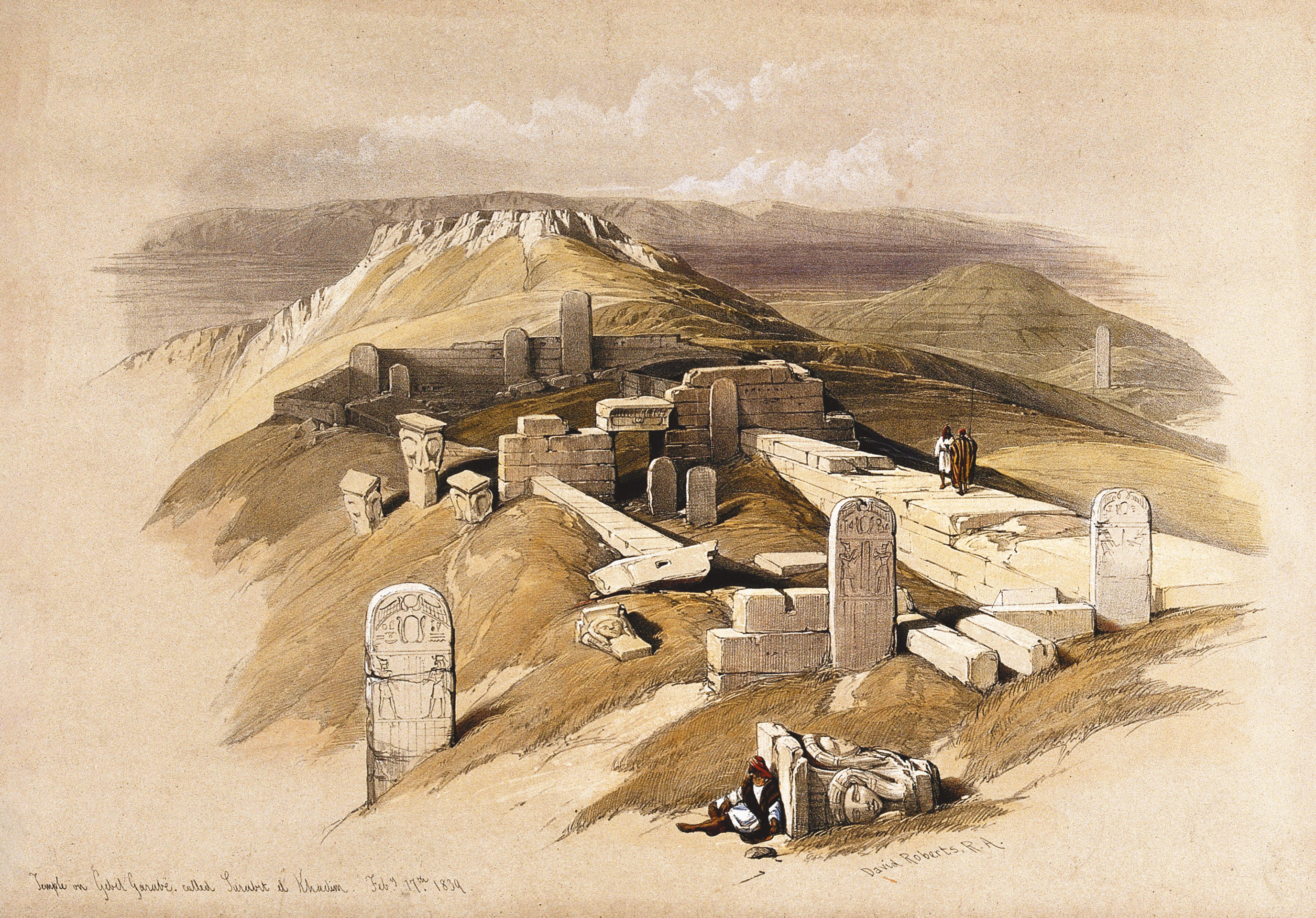
Although the sacred cave of Hathor may have been venerated by visitors before the Middle Kingdom, the temple seems to have been first built by Senusret I (c.1965-1920 BC). He was responsible for the enclosure walls and for setting out the processional ways towards the double caves in the sanctuary area. Additions to the temple were made throughout the Middle Kingdom and New Kingdom, and the site seems to have been abandoned in late Ramesside times.

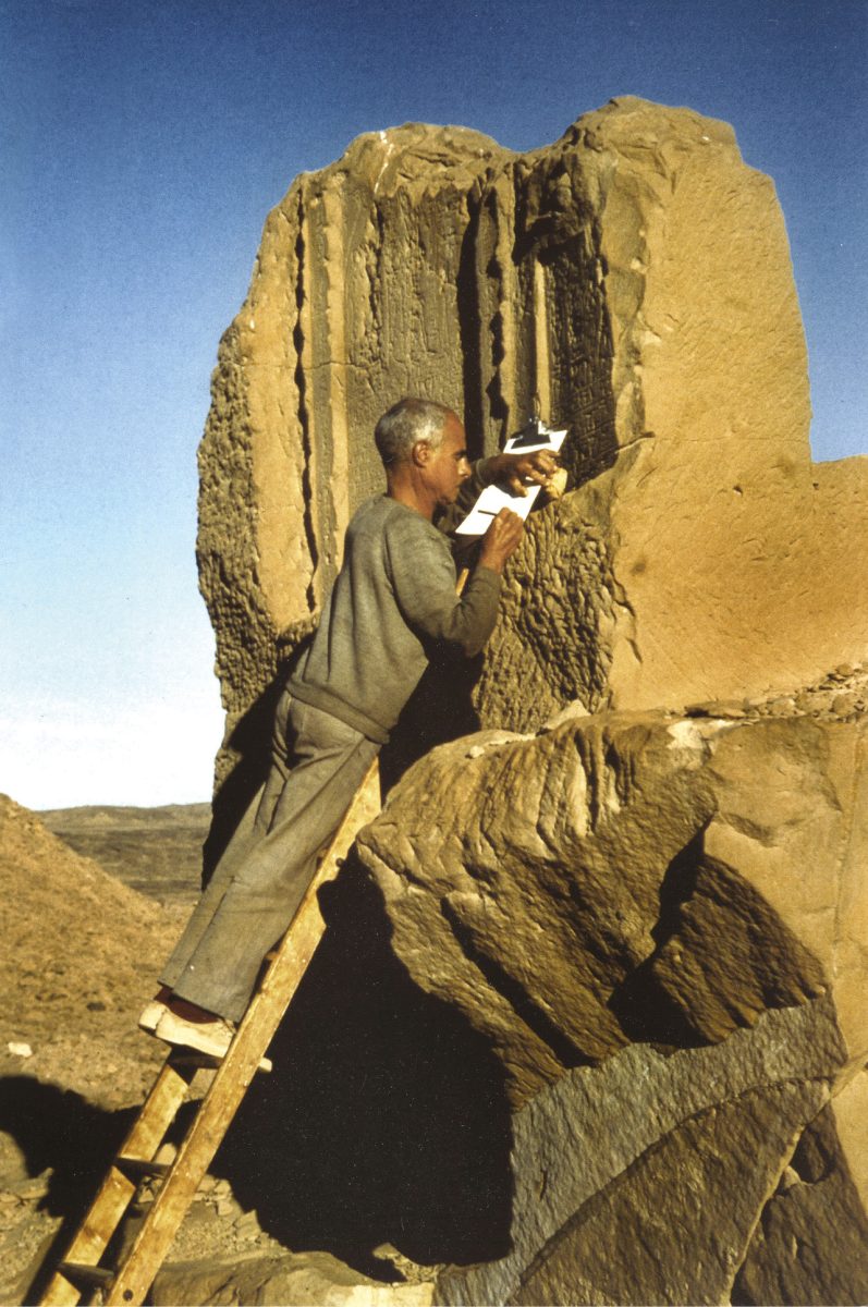
The first comprehensive excavation at Serabit was carried out by Flinders Petrie in the winter of 1904-1905, and he published his findings in 1906. The inscriptions recorded during this expedition were translated and published by Gardiner and Peet in 1917 and 1955, building on those by R Weill in an earlier publication.
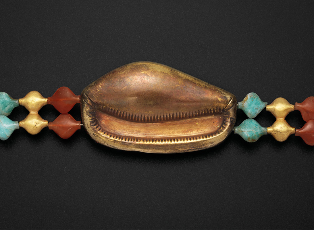
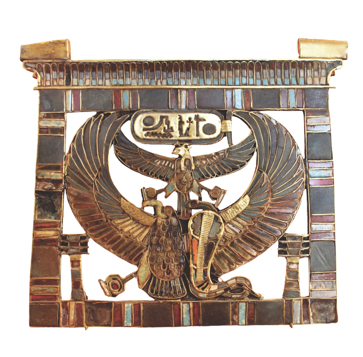
Turquoise was used in jewellery from the earliest dynastic period. For example, the bracelets found by Petrie on an arm in the Abydos tomb of King Djer of the First Dynasty featured turquoise, as well as gold, lapis lazuli, and amethyst. But it was in the Middle Kingdom that turquoise seems to have increased in popularity – the pectoral and necklace of Princess Sithathoryunet from the pyramid of Senusret II at Lahun is a spectacular example.

Visiting the temple
Access to Serabit is not straightforward, since it is off the normal tourist route. The nearest town is Abu Zenima on the Sinai coast, and a poor-quality road leads about 40km from there to the camp at the foot of the Serabit mountain. It is easy to reach Abu Zenima by driving from Cairo, taking the tunnel under the Suez Canal and then the road along the western side of Sinai. It would be equally possible to drive from Sharm el-Sheikh. My Egyptian driver and I arrived in Abu Zenima and booked into the only hotel in town. I was concerned about the road to Serabit – online research suggested that we would need a four-wheel drive vehicle as a minimum, and perhaps a donkey to cover the final approach. My ever-optimistic driver scoffed at the idea of hiring a 4 × 4 – he said we should set out in his regular car and see how we got on.

My driver was right – he entered ‘Serabit el-Khadim’ as the required destination on the GPS app on his mobile phone, and although the tarmac disappeared from time to time, we had no trouble arriving at the base camp of the mountain, where the road ends and the tourist path up to the temple begins.
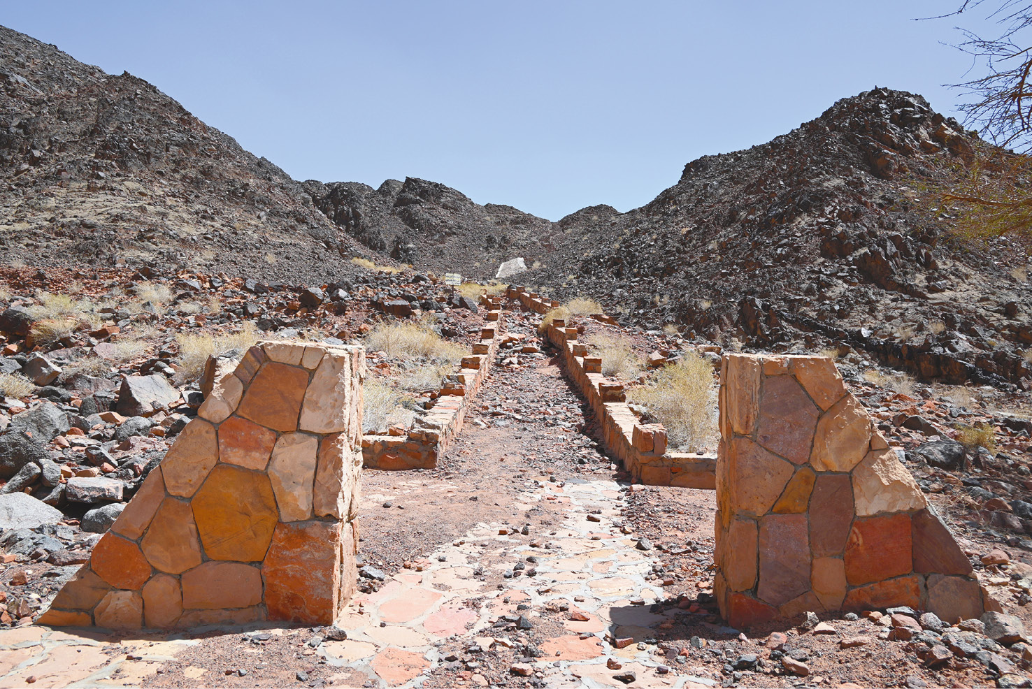
After a few minutes, a Bedouin local arrived in his pick-up, and we agreed a price for him to guide us up to the temple. I assumed that we would be walking up the tourist path, but our guide had a different plan. Mount Serabit rises gradually on its western side, where the tourist path makes its gentle ascent, but ends in a rocky rampart on the east. The guide said that it would be quicker to drive round the mountain and then climb its eastern flank.
I found the steep eastern ascent in the Egyptian sun challenging. Gardiner (1955) writes that ‘the mountain mass rises with great abruptness from the surrounding valleys and cannot be climbed with any comfort’ from this direction. I agree with Gardiner! But after about 90 minutes of breathless clambering we reached the top, the plateau on which the temple was built. The views were magnificent in all directions, looking down into nearby valleys and over to distant mountains. South Sinai is a beautiful place.

Objects found at the temple
The temple is compact, about 70m long by 35m wide, but full of stelae erected along its processional routes. Although the temple that we see today was started by Senusret I, Petrie reports finding the breast and back of a stone falcon, inscribed with the cartouche of Sneferu, which he thought dated to that king’s reign (c.2613-2589 BC). This would make it the earliest object found at the site, but Gardiner (1955) describes this dating as ‘very suspect’. It is probably a later piece on which the cartouche of Sneferu was written to celebrate his memory.
Petrie also found a small head of green steatite. It is only 7cm high, but would have been part of a statuette, around 30cm tall, dedicated to Hathor. The cartouche on the forehead identifies Queen Tiye, wife of Amenhotep III. The head’s features follow the artistic principles of that time, with almond-shaped eyes and a thin nose. The down-turned mouth is often seen in portrayals of Tiye, and has led to her reputation as a tough character. Petrie writes of the ‘haughty dignity of the face’ and how the expression is one of ‘disdain without malice’.

Functions of the temple
The temple had a dual function: to honour the goddess Hathor in the hope of finding turquoise deposits and returning safely to the Nile valley, and to glorify the pharaohs in whose name each mining expedition was sent. In the Middle Kingdom, therefore, there were two processional routes through the temple: one along the main central axis which turned right after the Court to approach the Sacred Cave of Hathor, and the other more northerly to approach the Shrine of Kings. Stelae were erected over the years along both these routes.

The impressive Stela of Horwerra lies along the northern route. It is dated to ‘Year 6’ but unfortunately the name of the king is lost. Stylistically it belongs to the reign of Amenemhat III (c.1855-1808 BC). Horwerra, who was ‘treasurer of the god’ (that is, of the king), explains how his expedition arrived in the summer, although this was not the usual season for working in the turquoise mines. All went well and he returned home with a great deal of genuine costly stone. We learn from this that expeditions were normally sent in the winter rather than all year round, which is to be expected given the extreme heat of summer.

During the New Kingdom, a series of rooms, A to O, was built along the main axis of the temple. There were still two processional routes: the northern route started in the west and visited the Shrine of Kings, but then continued, turning right to approach the Sacred Cave. The main axis route passed through all the New Kingdom rooms before making its right turn towards the Sacred Cave.

The stela of the overseer of the treasury, Sobekhotep called Pinhasy, was erected along the main axis in what is now Room B. It is dated to Year 36 of Amenhotep III (c.1390-1352 BC) and tells how Pinhasy was sent to Serabit to obtain turquoise to celebrate Amenhotep’s third Heb-Sed. Everything went well. The right-hand portion of the stela has been lost, but we can see Amenhotep III on the left offering a conical loaf of bread to Sopdu, god of eastern regions such as Sinai. On the missing right part of the stela there would have been a matching scene depicting Amenhotep offering to Hathor. Much of this stela seems to have been lost since Weill recorded it in his 1904 publication.

Towards the east of the temple, Petrie identified two rooms he called the ‘Hathor hanafiyeh’ and the ‘Lesser hanafiyeh’. A hanafiyeh is a chamber in a mosque or baths containing a large tank of water for personal washing. Petrie found stone basins for water in each of these two rooms and believed that they were used for ritual ablutions before entering the most sacred area.

Beyond the hanafiyehs are the two sacred caves, one dedicated to Hathor and the other assigned by Petrie to Sopdu. Many later researchers believe that the lesser cave was more likely dedicated to Ptah, but Petrie’s name of the Cave of Sopdu is still commonly used.


After visiting the sacred caves, my time at Serabit had come to an end. Over a cup of tea that the Bedouin guide had resourcefully managed to boil, I insisted on going down by the tourist route. This was much more comfortable than the steep route up the back. Steps have been installed in the rock to help at any difficult points. After 90 minutes, we were all safely back at the basecamp. My driver set ‘Abu Zenima’ as the destination on his phone and we returned to the hotel. It had been a day to remember.

Geoffrey Lenox-Smith holds the Certificate in Egyptology from Birkbeck, University of London, and is one of our regular ‘Out and about’ contributors.
Further reading:
• R Weill (1904) Recueil des inscriptions égyptiennes du Sinaï (Société nouvelle de librairie et d’édition).
• W M F Petrie (1906) Researches in Sinai (E P Dutton and Company).
• A H Gardiner and T E Peet (1917) The Inscriptions of Sinai, Part I (Egypt Exploration Fund).
• A H Gardiner and T E Peet, ed. J Černý (1955) The Inscriptions of Sinai, Part II (Oxford University Press).
All images: the author, unless otherwise stated