
Subscribe now for full access and no adverts
The Nautical Archaeology Society (NAS) is best known for its work underwater on submerged landscapes and shipwrecks, carried out by SCUBA divers. However, we strive to involve local non-diving communities in our mission ‘to research, record, and protect our threatened underwater and coastal heritage for the benefit of everyone’. That ‘coastal heritage’ includes the intertidal zone – the stretch of shoreline between high and low tide – and this is where non-divers can roll up their sleeves and get involved, contributing to archaeological surveys and recording finds before they disappear, while discovering more about their own local history in the process. This work can be exciting, intriguing – and sometimes involves racing against the clock, particularly when artefacts are temporarily exposed at low tide, or when previously unidentified and unknown finds are revealed in the aftermath of big storms, which require speedy recording before the sands reclaim them.
The intertidal zone preserves an extraordinary range of archaeological remains, from the remnants of ancient settlements and structures once located on dry land but now submerged by rising sea levels, to abandoned, stranded, or wrecked vessels and their associated artefacts. Together, these sites offer valuable insights into human and maritime history, but are increasingly at risk from ongoing coastal erosion.
Why record maritime heritage? We believe that when people are given the opportunity to learn about their maritime heritage and help to research and record it, they come to understand it. When they understand it, they begin to value it, and when they value heritage, they become the best advocates for further research and protection. NAS is active all over the world, but here we would like to highlight some ongoing projects in the UK which you may want to get involved with.
Sandwich Bay, Kent
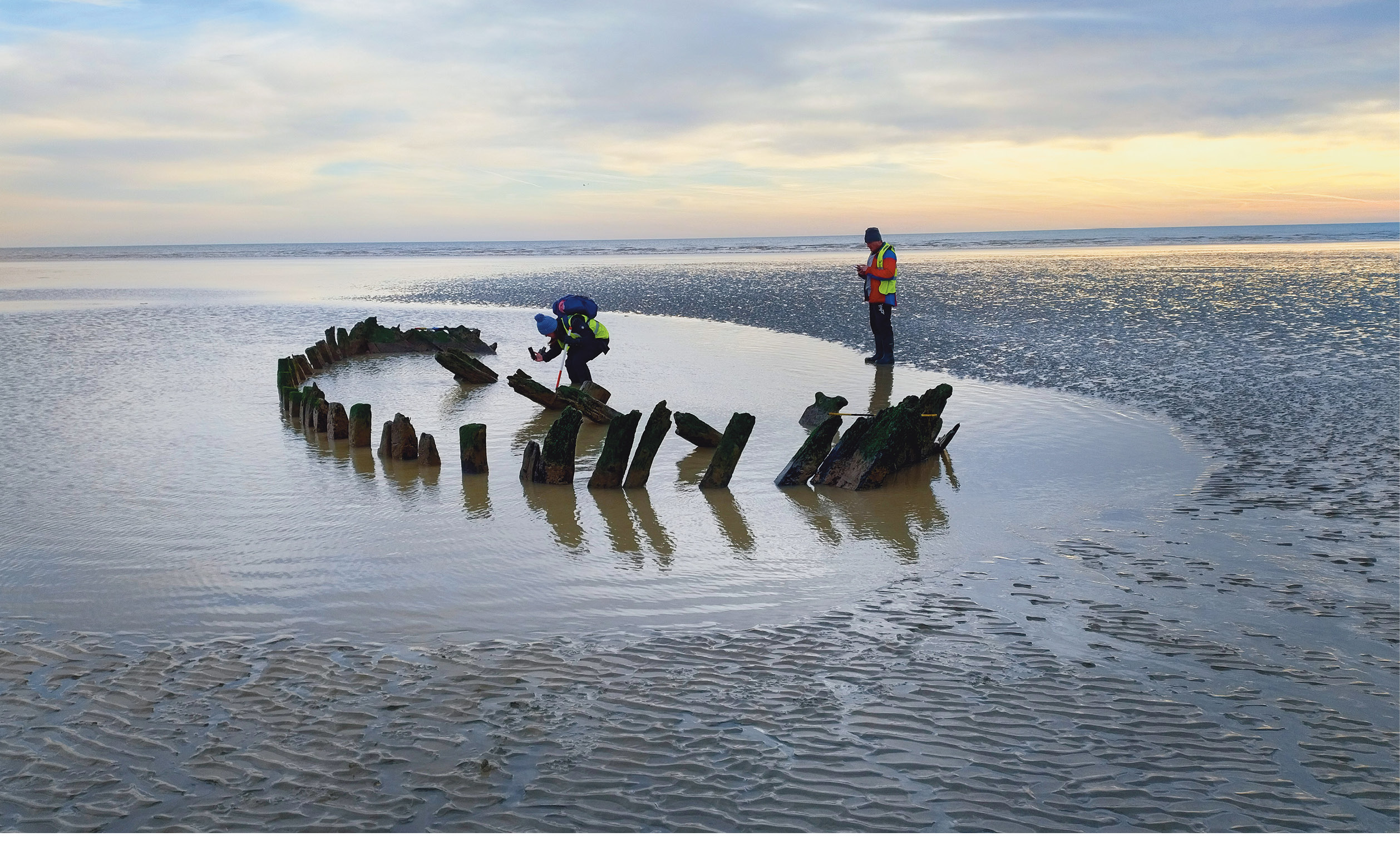
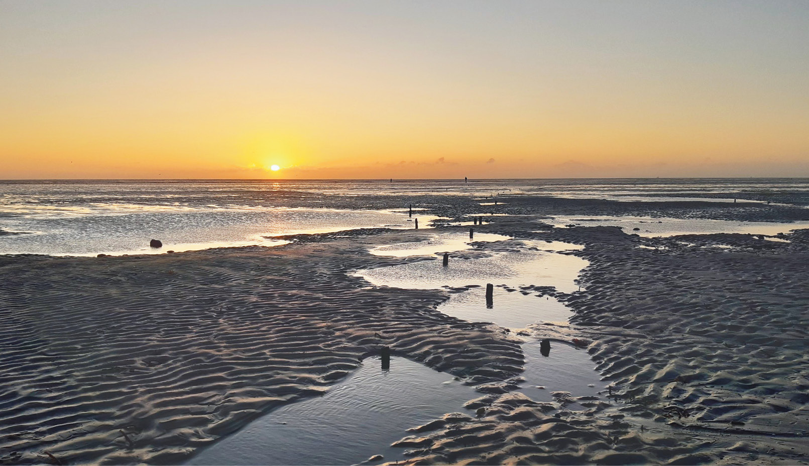
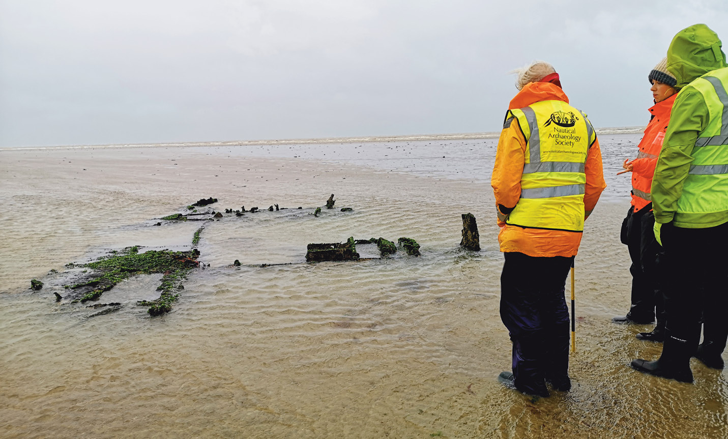
The collection of shipwrecks scattered along this stretch of coastline are well known to local communities, as their remains reappear with every low tide before rising waters swallow them once more. Rather less is currently known about their history – though a wealth of stories has grown up around these ships – but helpfully many of them lie close to the shore, making them ideal subjects for intertidal surveys. As well as the 11 wooden vessels that are visible at most low tides, other common sightings include the wreck of a Second World War B-17 Flying Fortress that ditched on the Sandwich Flats in 1943 (all of the crew survived). There are also hundreds of wooden stakes on the beach, representing the remains of fish traps, and every tide brings new artefacts either uncovered from the sands or washed up from wrecks further out to sea.
Over the last seven years, the NAS has built strong relationships with local individuals, organisations, and stakeholders, working with them to investigate and monitor these historic remains, learn more about how they fit into the story of Sandwich Bay, and share this knowledge with the wider community. Since 2018, we have helped to train locals and interested people from further afield in archaeological techniques, and in 2020 we teamed up with CITiZAN East Kent Coast Discovery Programme to run fieldwork opportunities and training programmes teaching skills including measured survey, photogrammetry, illustration, and archival research. (See CA 324 and 306 to read more about the wider work of CITiZAN, the Coastal and Intertidal Zone Archaeological Network.) The results of this work have enabled us to create a geolocated map of all the sites that we have found so far, with more being added as the sediment levels change. You can explore more at http://www.swbayproject.com, and if you upload the map to your phone, you can add new pictures and information ‘on the go’, while walking on the beach.
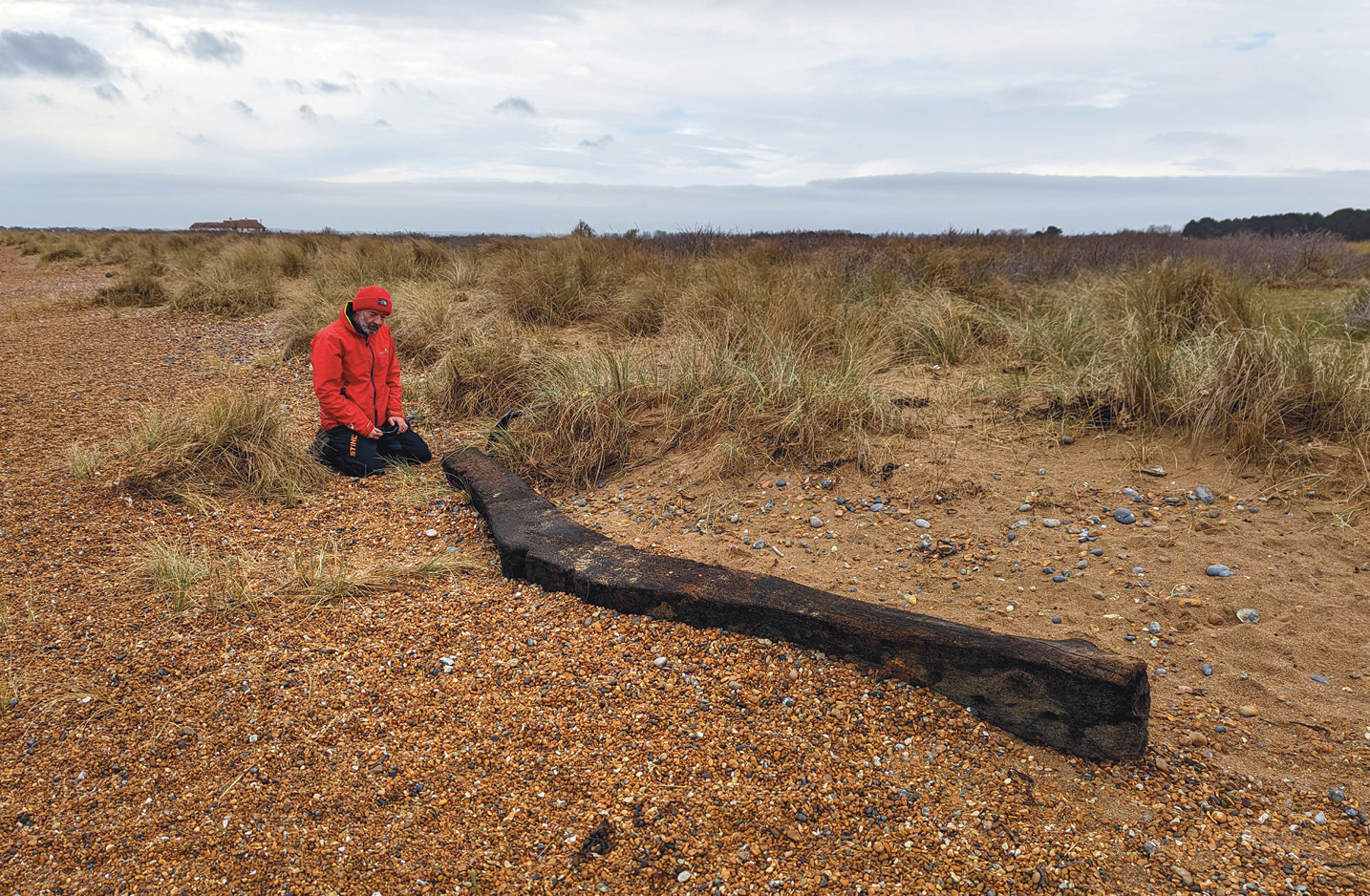
The in-depth knowledge of our local participants has been crucial to this work – as one of our volunteers, artist Sara Trillo, noted: ‘Some of them have incredible lifelong knowledge of the bay, and as daily visitors to the beach they can monitor and inform on the conditions of the wrecks and any changes to them, and also hear about beach finds, which is invaluable as part of the research.’ This enthusiasm is embodied, too, by the 50 or so people who regularly turn up at dawn for guided low-tide walks. We want to support this community interest through a three-year grant from the National Lottery Heritage Fund ultimately to create a self-sustaining community group to monitor, investigate, and celebrate this extraordinary intertidal heritage. In 2023, expert dendrochronologists Nigel Nayling and Rod Bale were funded by Historic England to carefully collect wood samples from some of the wrecks. Unfortunately, the sediment levels were higher than expected, and the timber available for testing was too eroded and worm-eaten to provide any information about its age and origin. That is why it is so important to create a trained team of locals who can obtain quality samples of wood that have only just been revealed from the eroded sediment levels. Once we are armed with that new information from the wrecks’ timbers, our next step will be to investigate where and when the vessels were made – and, possibly, why they ended up on the beach at Sandwich Bay.
Portsmouth Harbour, Hampshire
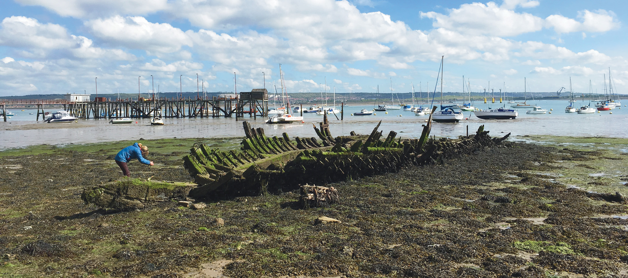
Another fascinating wreck lies on the Gosport foreshore on the western side of Portsmouth Harbour. Since 2016, NAS volunteers have been working alongside other interested parties to document the remains of a Second World War Motor Minesweeper (MMS), specifically MMS 113. Nicknamed ‘Mickey Mouse Sweepers’ due to their abbreviated classification, these were wooden vessels designed to carry out inshore, shallow water sweeps for ‘influence mines’ (those triggered by magnetic, acoustic, or pressure changes caused by a ship’s movement, rather than by direct contact with a vessel).
Records show that a total of 402 MMS were constructed for the Royal Navy in 1942 and 1943. They were built in two standard classes: the larger vessels (officially MMS-1001 class, but nicknamed ‘Big Mickeys’) measured 127ft (38.7m) in length and displaced 360 tonnes, while the smaller ones (MMS-1 class, or ‘Short Mickeys’) were 105ft (32m) long and displaced 256 tonnes. They did not operate under individual names but pennant numbers: the bigger vessels were numbered MMS 1001 through 1090, while their smaller counterparts were numbered MMS 1 through 312. The example that we are documenting at Gosport belongs to this latter class.
Modern wrecks do not always attract the same popular interest as centuries-old ships, but by highlighting how vessels like MMS 113 fit into the maritime heritage continuum, we can enhance public appreciation and understanding of them. Only with broad support will the gradually degrading remains of a vast array of vernacular craft be recognised for their historic legacy, and a record of them developed for future generations. The initiative in Portsmouth Harbour has documented 25 vessels to-date; this work is far from exhaustive, but we hope that it will inspire further research on the collection in the future.
Loch Achilty Crannog, Highland
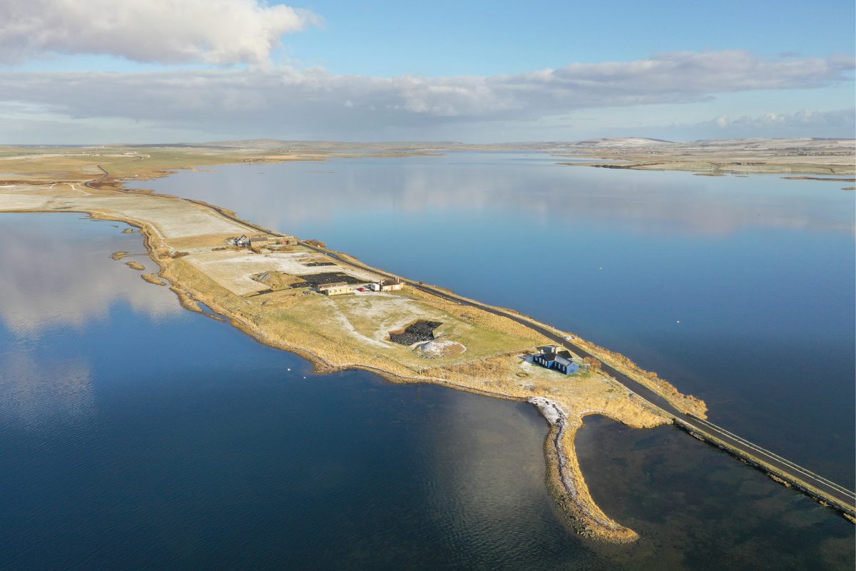
Leaving behind southern England, our third highlight takes us to the Scottish Highlands, as in September of this year we partnered with the North of Scotland Archaeological Society (NOSAS) to investigate a medieval crannog (lake dwelling) in Loch Achilty, near Strathpeffer. This site had already been dived on three previous occasions – during which a tape and offset survey of the above water and underwater structure was completed, a plan was drawn, and two timber samples were taken for radiocarbon dating, producing results of c.AD 1060 and 1359.
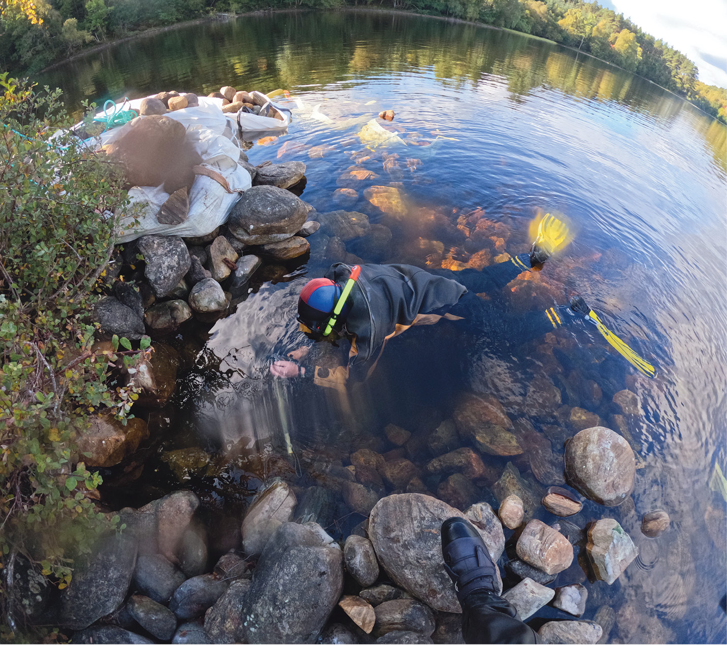
Crannogs from the medieval period are very rare, and very few of them have been studied. There is minimal knowledge of their function, or of the construction techniques used in the Highland area. NOSAS therefore believed that Achilty would be a good subject for more detailed study, possibly a partial excavation with a view to determining the method of construction, and during our week in September we documented and excavated a section of the crannog in order to learn more about its occupation and use. While this might seem, at first glance, to be a SCUBA project, in fact nearly all the work was done through snorkelling, as we were working in less than 1m of water.

From this work, we have been able to carry out an interesting comparison with Loch Kinellan crannog, which lies only a few kilometres away. Kinellan is also thought to be medieval in date (based on pottery from antiquarian excavations), but its construction is completely different to that at Achilty, being entirely formed from timber, brushwood, and clay, with almost no stone. Achilty, meanwhile, uses a lot of stone in its make-up, and during our recent investigation we were able to recover several timbers embedded in among this material. These have been sampled for dendrochronology and radiocarbon dating, and we and NOSAS hope that this analysis will give us a better understanding of just how long this crannog might have been in use. Watch this space for further updates when the results are back from the lab!
Get involved
Who can participate in intertidal activities? Anyone! Young or old, novice or experienced avocational archaeologist, everyone is welcome to take part – although anyone under 18 years old must be supervised by an adult at all times.
If you are interested in learning more about your local maritime heritage and would like to get involved in any of the NAS surveys, training courses, or field schools, contact the Nautical Archaeology Society by emailing nas@nauticalarchaeologysociety.org or telephoning +44 (0)23 9281 8419.
All Images: Nautical Archaeology Society