
Subscribe now for full access and no adverts

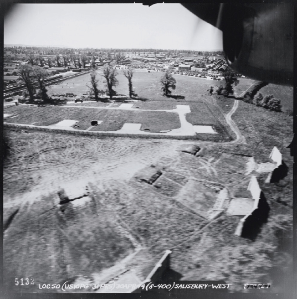
Between 1943 and 1944, reconnaissance units from the United States Army Air Force (USAAF) trained for combat deployment over the skies of England.
They flew over airfields, radar installations, and ancient monuments, as well as major settlements, in order to learn the English radio procedures and flying regulations – and, more importantly, to gain experience ahead of later missions over enemy territory.

Now a collection of images taken by these units has been released to the public for the first time. More than 3,600 black-and-white photographs have been made available by Historic England via a searchable map on their website.
The USAAF’s Photographic Reconnaissance (PR) units were made up of specialist teams who, from sites such as RAF Mount Farm in Oxfordshire and RAF Watton in Norfolk, maintained aircraft cameras, processed photography, and interpreted what pictures revealed.
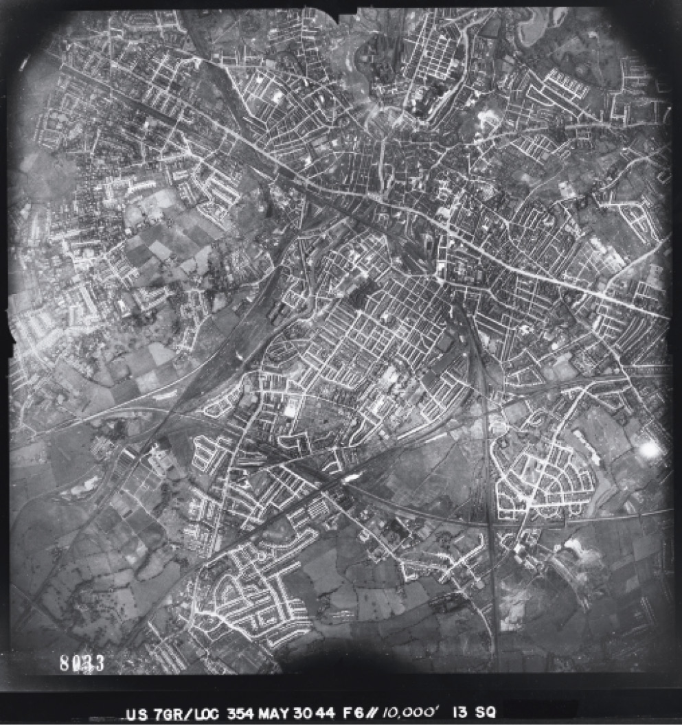
Aircraft were specifically adapted to be flown for reconnaissance operations, with their guns and weapons removed to accommodate cameras. A range of lenses and focal lengths could capture cities in a single frame, as well as specific targets such as key ports or supply depots.
The central image here was taken in December 1943 by a USAAF PR aircraft and captures the flight of MM247, a Mosquito Mk IX that was part of the RAF’s own PR fleet. Just months later, MM247 was lost during a mission to Peenemünde on Germany’s Baltic coast, where the Nazi V-weapons were being developed.